

Hover over image to zoom
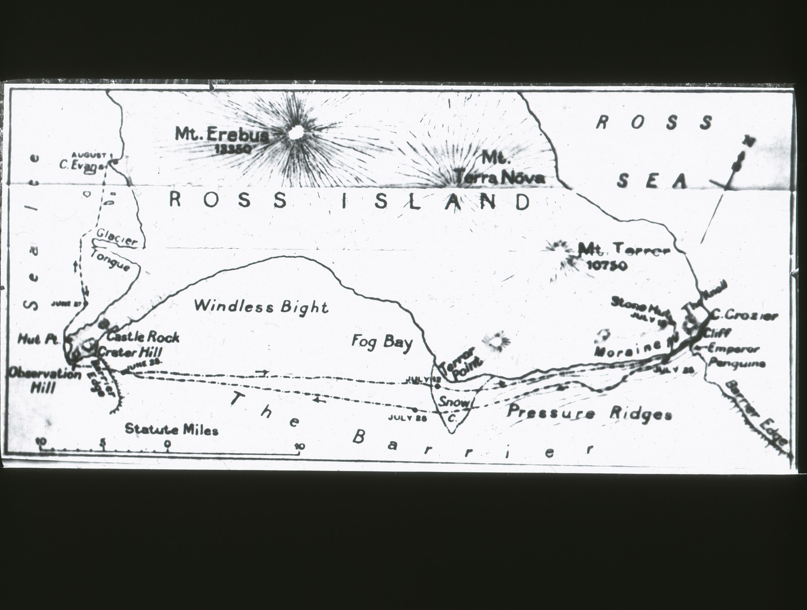
Map of Ross Island and Ross Sea
Slide, lantern slide depicting a black and white map of Ross Island and Ross Sea, the location of base huts for a variety of early explorers such as Sackleton and Scott. Part of a collection of fifty eight slides depicting scenes from various Antarctic expeditions.
| Number: | ROY.30.2.7 |
| Name: | Map of Ross Island and Ross Sea |
| Date: | 1910 |
| Maker: | Stanley, W.F., |
| Location: | In Store |